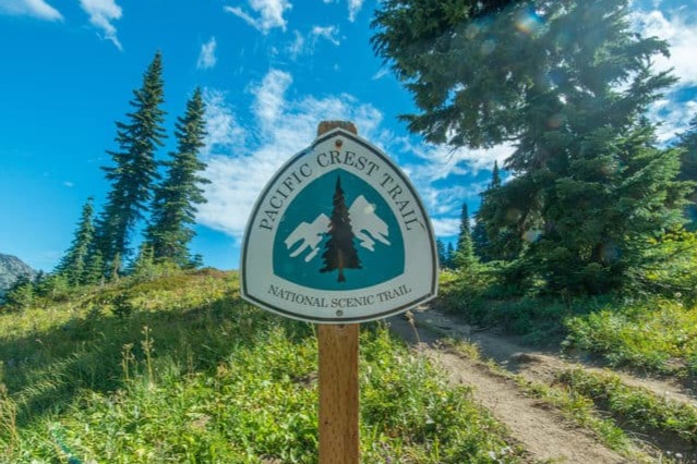
The PCT is a national trail in the USA which stretches 2650 miles between the Mexico and Canada borders. On average it takes about 5 to 6 months to hike and mid April is considered peak time to set off from the southern terminus, heading north. If you are hiking south from the northern terminus (the less popular option), due to weather differences between southern California and Washington, a later start is more common.
There are a whole host of other resources available online that will tell you all about the PCT, I won’t regurgitate it all here!
A few fun facts

Altitude Gain: 489,418 ft
Altitude Loss: 488,411 ft
Highest Point: 13,153 ft (Forrester Pass)
States: 3; California, Oregon, Washington
National Forests: 25
National Parks: 7
Steps: ~6,000,000 ?!
Bear Sighting: 73% chance
Rattlesnake Sighting: 92% chance
Links to other info
The PCT Association – all the information you could wish for!
Halfway Anywhere 2019 PCT Survey – Interesting stats from 2019 thru-hikers of the PCT (and past years), not to mention other great info and resources.
Map!
Here is a fun illustrated map of the PCT by Nate Padavick who very kindly said I could use his work here. Check out his site for more loveliness!

See you on the trail…
#PCT #PCT2020 #thruhiking #adventure

Leave a Reply